Skip to content
Explore
Geosites
Georegions
Guided Tours and Museums
Learn
Geology of Victoria
What is Geotourism?
Books and Guides
Apps and Websites
Engage
About
Contact
Geologists of Instagram
Category:
Geosite
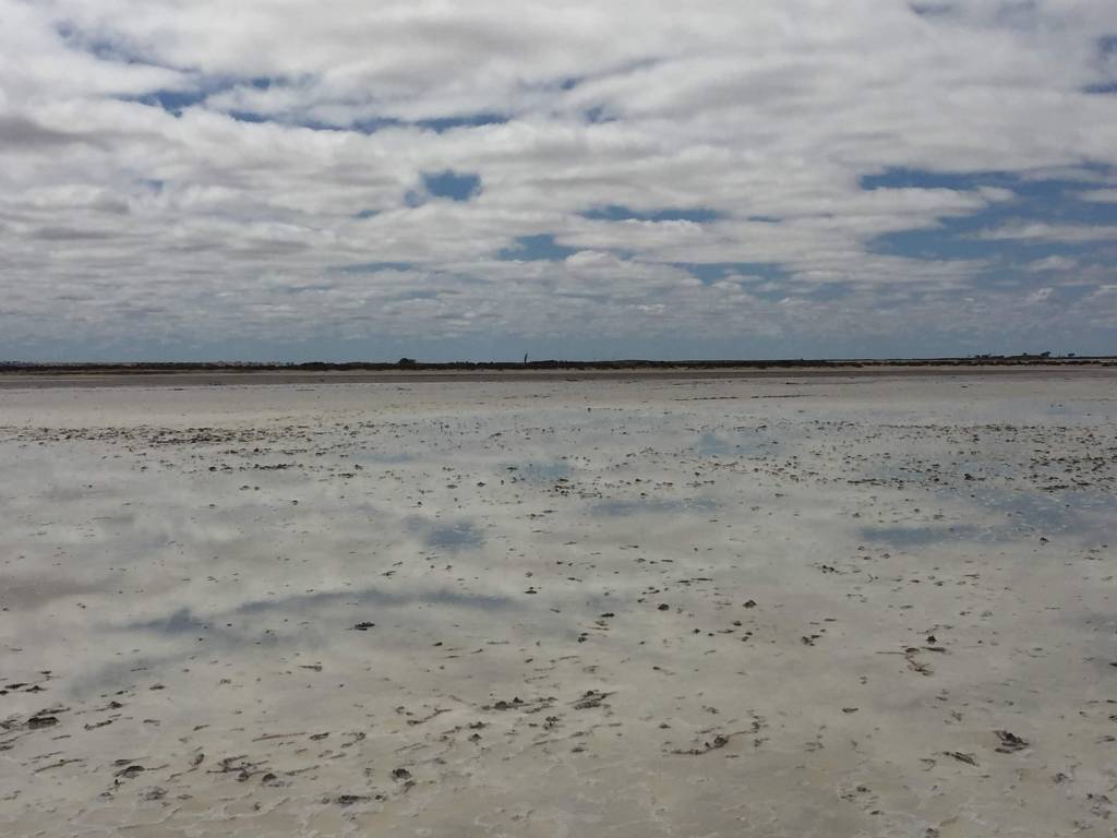
Lake Tyrrell
January 18, 2019
Geosite
×
Lakes and Rivers
×
Viewpoints
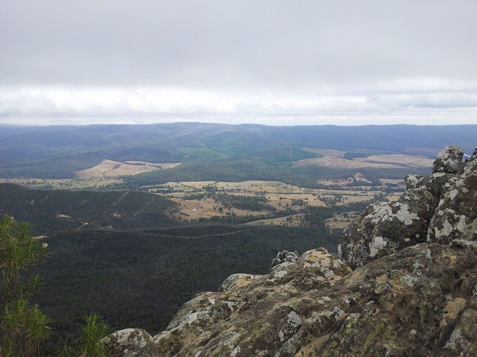
Kooyoora State Park
October 2, 2018
Caves
×
Geosite
×
Trails and Walks
×
Viewpoints
Lake Eppalock
April 26, 2018
Geosite
×
Lakes and Rivers
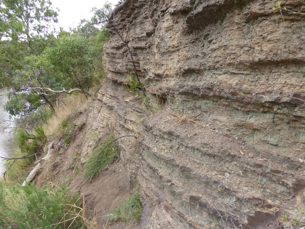
Studley Park
February 6, 2017
Geosite
×
Viewpoints
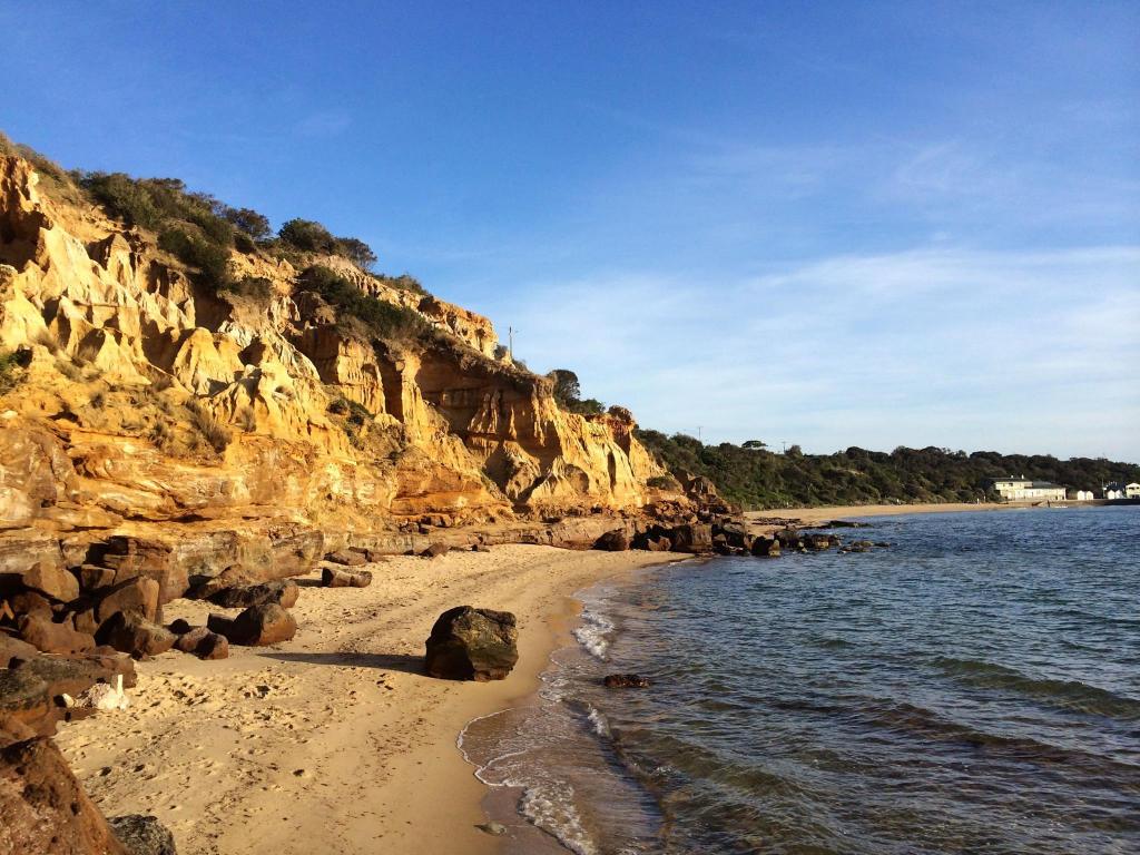
Beaumaris
September 29, 2016
Coastal
×
Geosite
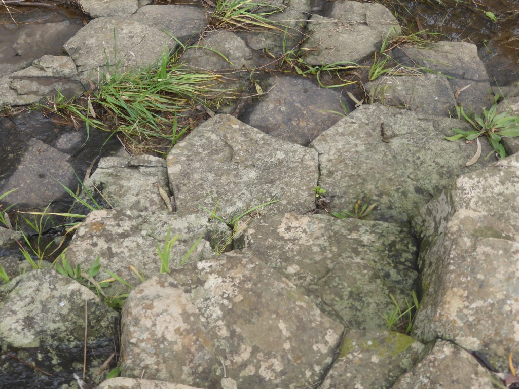
Organ Pipes National Park
September 15, 2016
Geosite
Cathedral Range State Park
July 24, 2016
Geosite
Dinosaurs in the Otways
July 11, 2016
Geosite
Werribee Gorge
March 21, 2016
Geosite
×
Geotrail
Wilson’s Promontory National Park
May 31, 2015
Geosite
1
2
Next Page
Subscribe
Subscribed
Weekend Geology
Sign me up
Already have a WordPress.com account?
Log in now.
Weekend Geology
Subscribe
Subscribed
Sign up
Log in
Report this content
View site in Reader
Manage subscriptions
Collapse this bar